Only provider of application maps for DJI, XAG and Exedy drones.
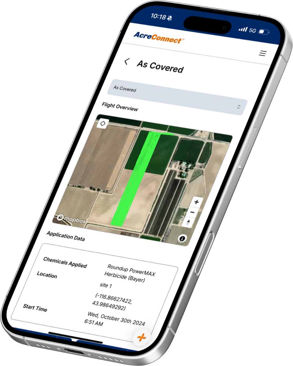
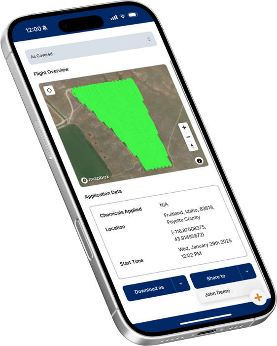
- Show the exact amount of product applied at specific locations.
- Use maps for regulatory requirements and reporting.
- Give your customers a complete record of field management for better crop protection.
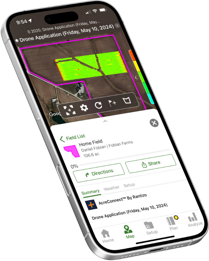
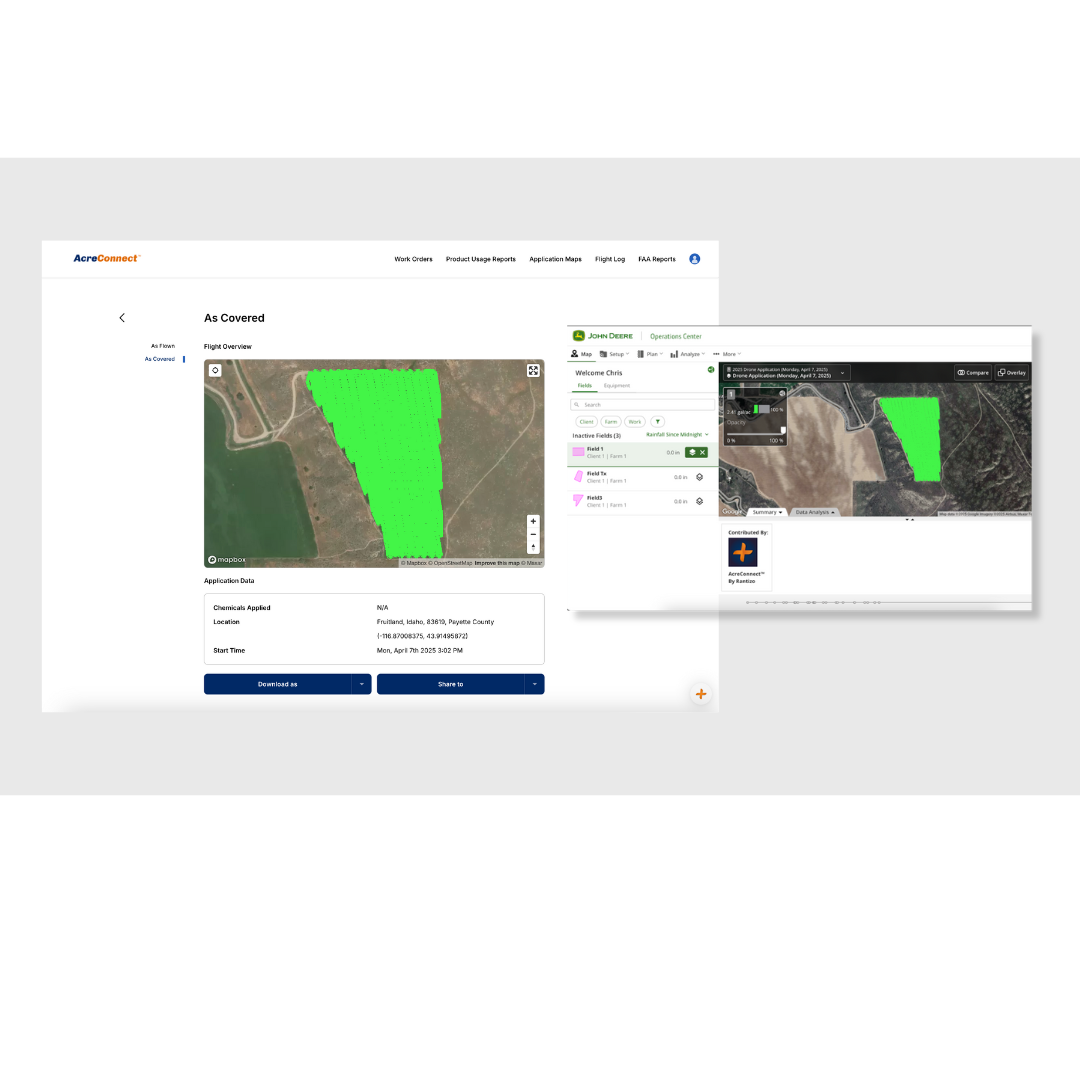
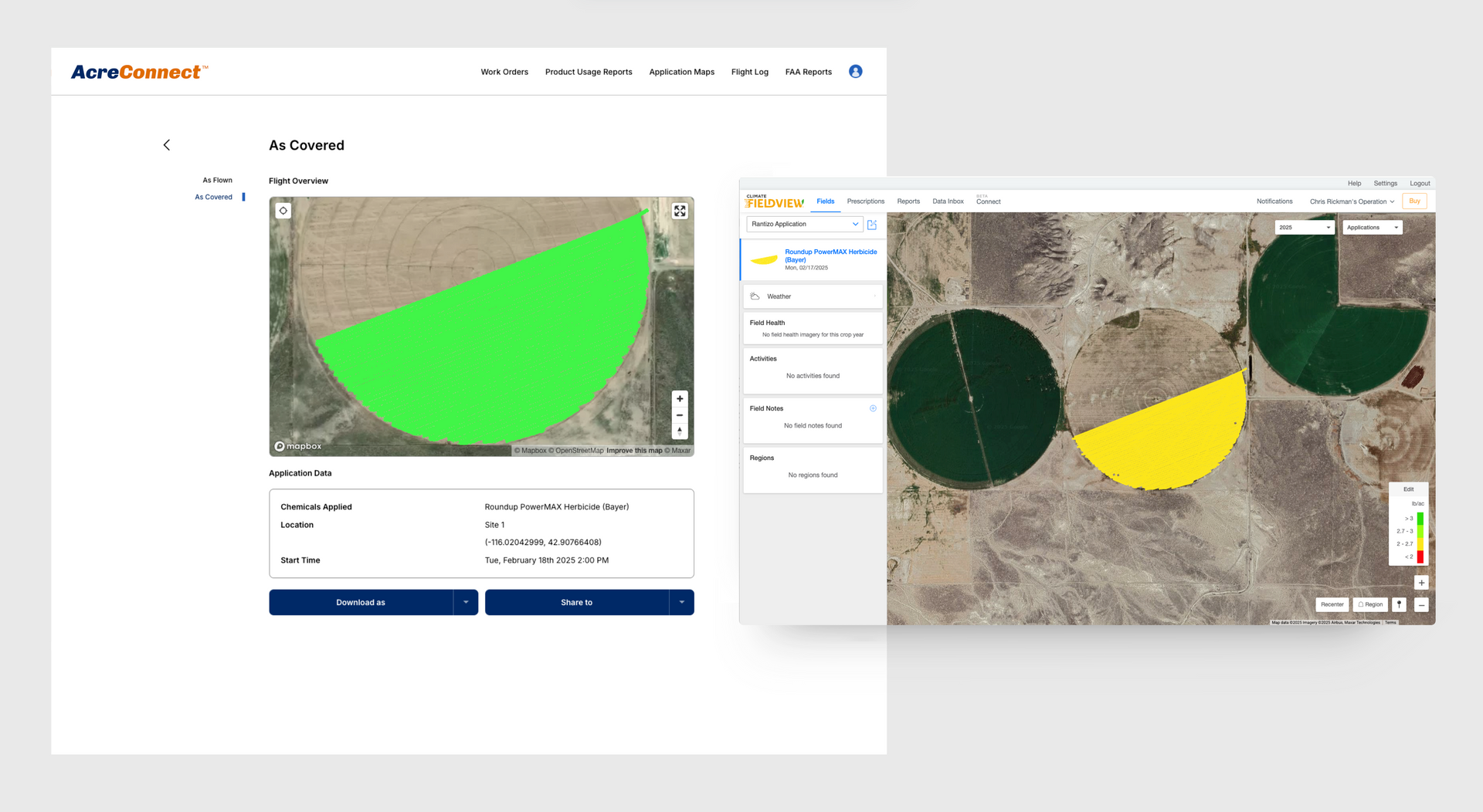
Share maps directly with John Deere Operations Center™
and Climate FieldView™.
- Share application maps directly with customers.
- Ensures spray records are included with other application information and field data.
- Supports a comprehensive view of operations.
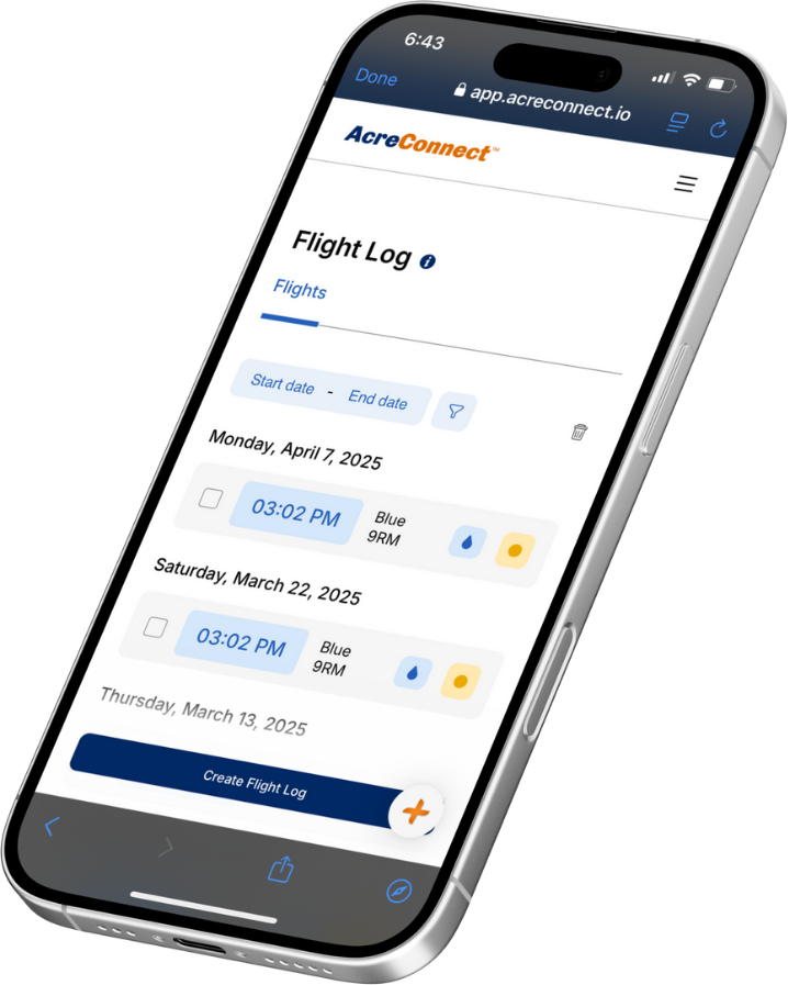
Upload and store flight logs.
- Store log files on secure, U.S. based servers.
- Store all your data from XAG, DJI and Exedy drones in one place.
- Use log files to create application maps and FAA monthly compliance reporting.
Stay prepared.
- Be ready for questions, complaints or incidents and prove your work.
- Show your work was on-label and applied correctly.
- Don't lose a fly day or risk a crop claim because you weren't prepared.


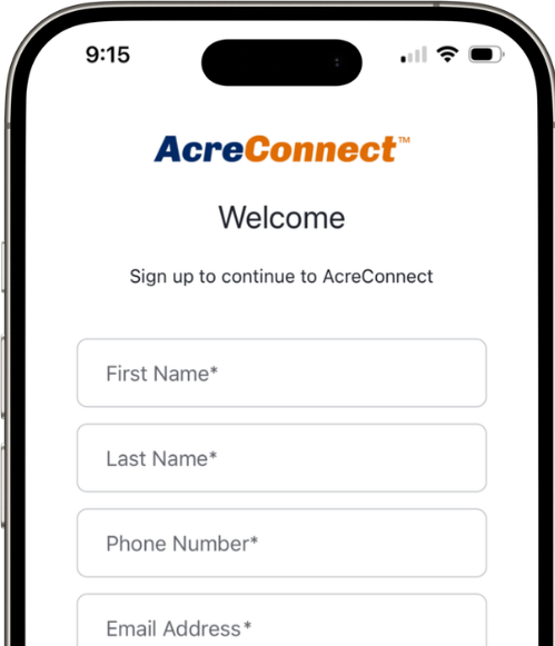
Let's get started!
CREATE YOUR FrEE account
With your free AcreConnect® account you get:
- Service provider map profile
- In-app onboarding tour and online chat tool
- Access to key features
- Ability to securely store your flight logs for DJI, XAG, EAVision and Exedy drones
- Access our knowledge center, how-to videos and customer support
Getting started is easy:
- Visit app.acreconnect.io/signup
- Enter your contact information and a create a password.
- Accept the Terms of Service and click signup.